|
SeaTac, Washington
|
|
|---|---|

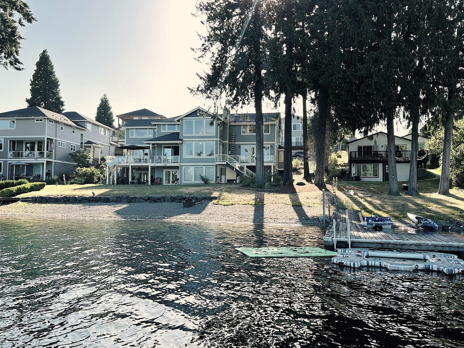
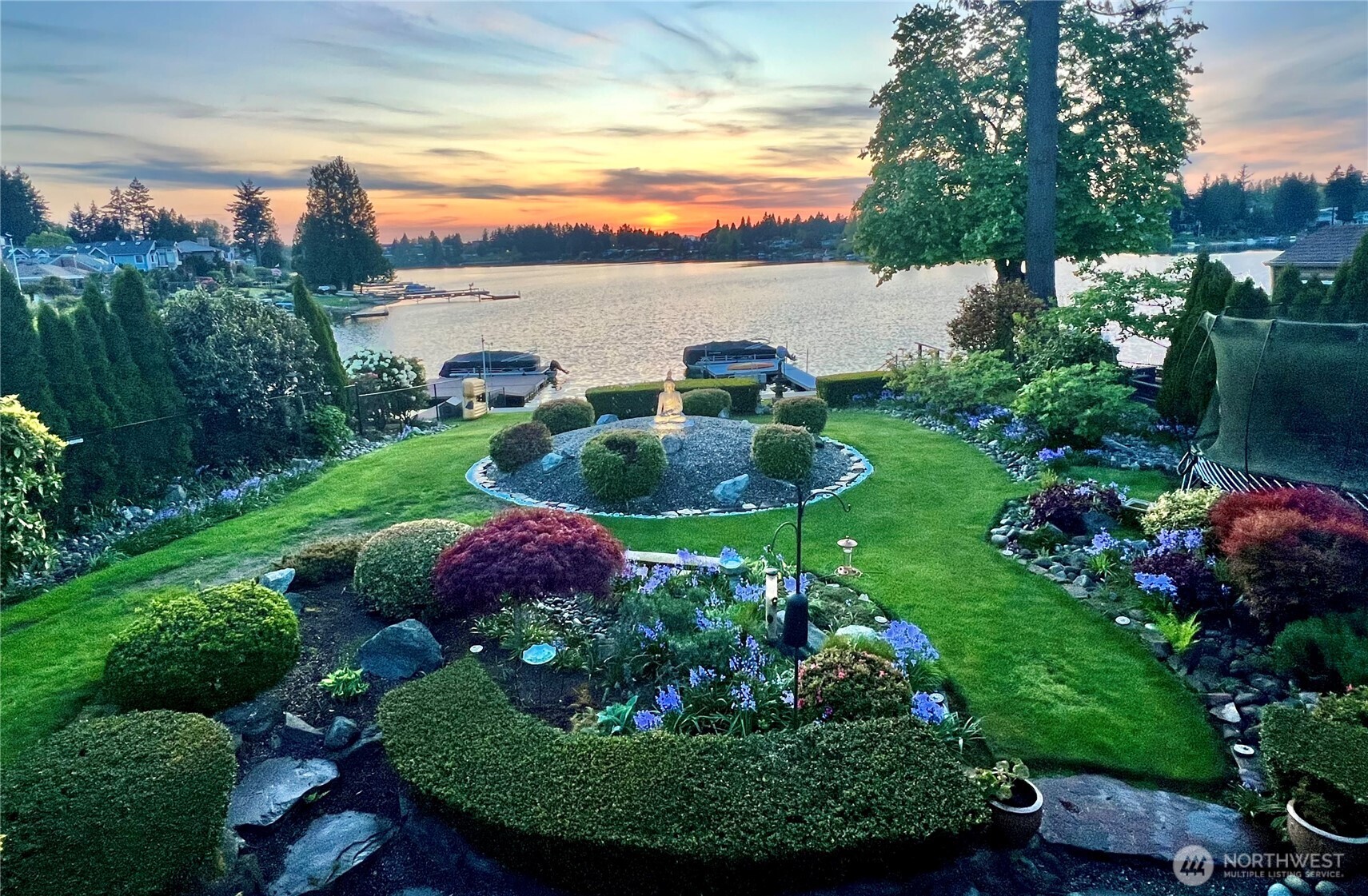
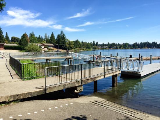
Aerial view of SeaTac, featuring Angle Lake
|
|

Seal
|
|

Location of SeaTac, Washington
|
|
| Coordinates: 47°26′29″N 122°17′35″W | |
| Country | United States |
| State | Washington |
| County | King |
| Incorporated | February 28, 1990 |
| Government
|
|
| • Type | Council–manager |
| • Mayor | Jake Simpson[1] |
| • Deputy mayor | Senayet Negusse[1] |
| Area | |
| • Total | 10.24 sq mi (26.52 km2) |
| • Land | 10.06 sq mi (26.07 km2) |
| • Water | 0.17 sq mi (0.45 km2) |
| Elevation
|
262 ft (80 m) |
| Population | |
| • Total | 31,454 |
| • Estimate
(2021)[4]
|
30,759 |
| • Density | 2,885.93/sq mi (1,114.23/km2) |
| Time zone | UTC-8 (Pacific (PST)) |
| • Summer (DST) | UTC-7 (PDT) |
| ZIP Codes |
98148, 98158, 98168, 98188, 98198
|
| Area code | 206 |
| FIPS code | 53-62288 |
| GNIS feature ID | 1534053[5] |
| Website | seatacwa.gov |

SeaTac /ˈsiːtæk/ is a city in southern King County, Washington, United States. The city is an inner-ringsuburb of Seattle and part of the Seattle metropolitan area. The name "SeaTac" is derived from the Seattle–Tacoma International Airport, itself a portmanteau of Seattle and Tacoma.
The city of SeaTac is 10 square miles (26 km2) in area and has a population of 31,454 according to the 2020 census.[3] The city boundaries surround the Seattle–Tacoma International Airport (approximately 3 square miles (7.8 km2) in area), which is owned and operated by the Port of Seattle. The city includes the communities of Angle Lake, Bow Lake, McMicken Heights and Riverton Heights, which were established before the city's incorporation. Residents voted for incorporation on March 14, 1989,[6] and the city incorporated in February 1990.[7]